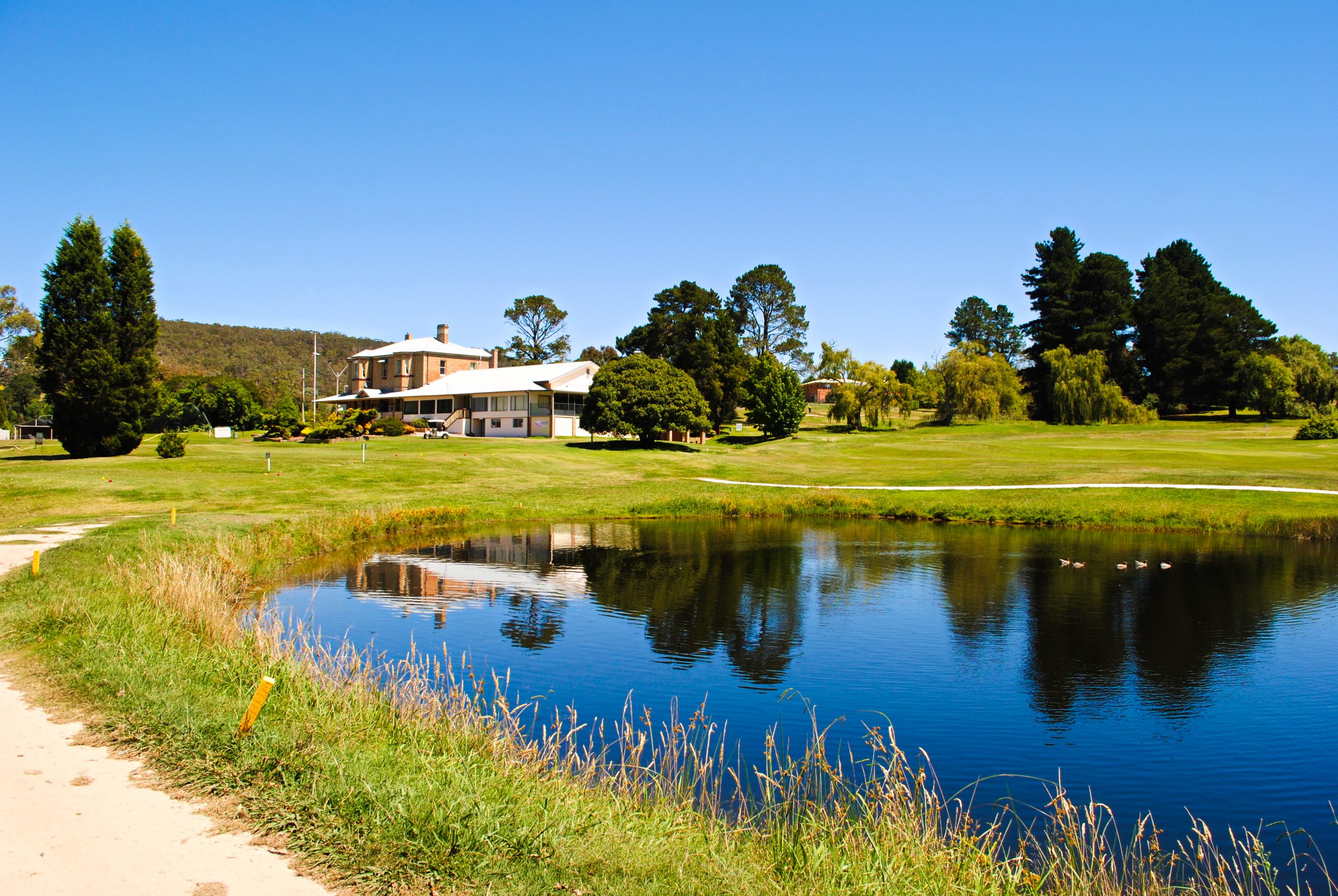
Marrangaroo is a village a few kilometres west of the city of Lithgow.
An aboriginal word, Marrangaroo has several meanings, one of which is “little black ant”.
Travelling along the Great Western Highway you may notice the eye catching heritage listed eight arched Marrangaroo railway viaduct.
After the completion of the Great Zig Zag at Clarence in 1869, work on the Main Western Railway continued. The line had reached Bowenfels later in 1869 and the section to Wallerawang opened in 1870. The Marrangaroo rail viaduct was designed by John Whitton, to enable the crossing of the Middle River at Marrangaroo. This single-track sandstone viaduct was built by George McGarvie Donald, a Master stonemason of Lithgow.
In 1878 a railway station was opened at Marrangaroo as the Main Western Line became part of everyday life. There is little trace left of this building today.
Marrangaroo Army Camp is located at the end of Reserve Road. This was a major ammunition depot from 1941 to the late 1980’s, served by its own three kilometre rail siding which branched off from the Main Western Line.
During 1943 to 1945, Lithgow Oil Pty.Ltd. produced around 2,000,000 gallons of crude shale oil. This oil came from a very rich oil shale deposit at Marrangaroo. The oil was then taken to the refinery at the Glen Davis Oil Shale Works.
Besides shale, the area is also rich in clay deposits and coal.
Marrangaroo National Park covers an area of 1670 Hectares and was created in 2007. The Park takes in areas between Lake Lyell and Lake Wallace, and parts of the Cox’s River.
You may be lucky enough to spot the Purple Copperwing Butterfly here!
This tiny iridescent butterfly is a threatened species.
Its scarcity is partly due to an incredibly specific set of habitat requirements. This dictates the type of plants that must exist, the elevation, climate conditions and a special supporting insect population. In fact, its entire lifecycle is dependent on three critical factors – a native plant, a black ant and a couple of weeks of sunshine timed to perfection!
For those looking for a challenge, a walk to the top of Mount Walker will get the heart racing. This mountain has an approximate elevation of 1108 metres above sea level and is named after James Walker (1785-1856) who was granted 2000 acres of land at Wallerawang in 1824.
The aboriginal name for this high point is Giligarambala.
Set up camp along the banks of the Coxs River in Marrangaroo National Park and see if you can spot a Platypus, throw in a fishing line or bring along your mountain bike to enjoy the Australian bush and some great views.
We guarantee relaxation and fun for all the family.


