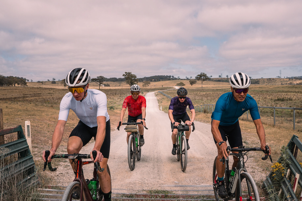
111km w/ 2,351m ascent
Capertee Mega Loop
Note: We highly recommend that you look over the profile to understand the climbs and descents of this long and remote gravel ride. Please note, there is no phone reception for most of this ride.
This is NOT a ride to do after heavy rains.
If you open any gates, please make sure you close them after passing through.
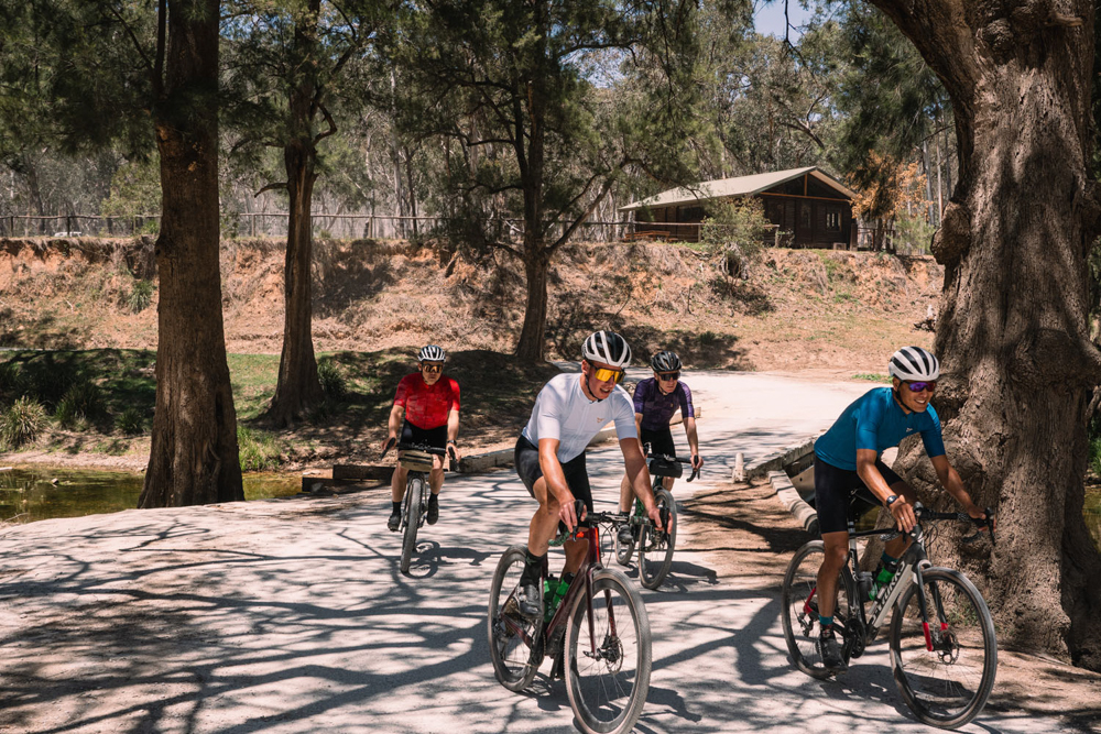
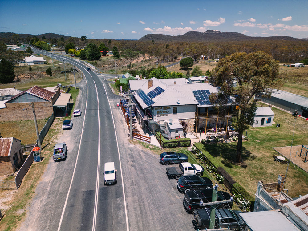
In the village of Capertee, there is a General Store, Service Station and the Royal Hotel Capertee Hotel. There is lots of parking in the general area.
When you depart from Capertee, you will ride towards Mudgee along the Castlereagh Highway. The speed limit is 100kph and there is a decent shoulder.
At ~1km turn left on Turon Road and then you will soon be on gravel. After ~3km you will be riding through a large cattle station along a super-white gravel road.
There is a climb up to Turon Gates Mountain Retreat, which is followed by a small plateau. At ~7.4km you start descending down to the Turon River. Use extreme CAUTION as it is very steep and there is no guard rail plus sections of -19%.
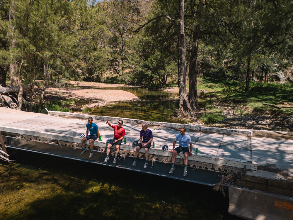
At ~10.3km you go across the Turon River for the first time. This is a concrete bridge so you should not get wet.
There are several descents and climbs as you ride along Upper Turon Road, parallel to the Turon River. You will also pass a large horse riding area, glamping facilities and a few very remote houses. Your first wet weir crossing is at ~18.6km just before you turn left at ~18.8km on to Palmers Oakey Road.
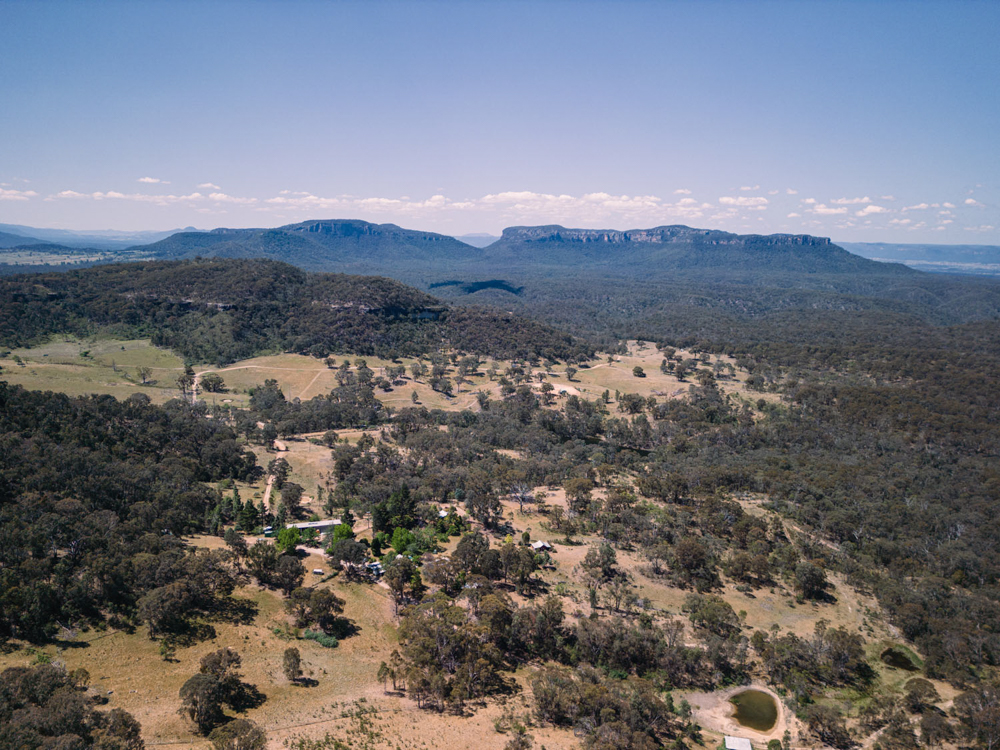
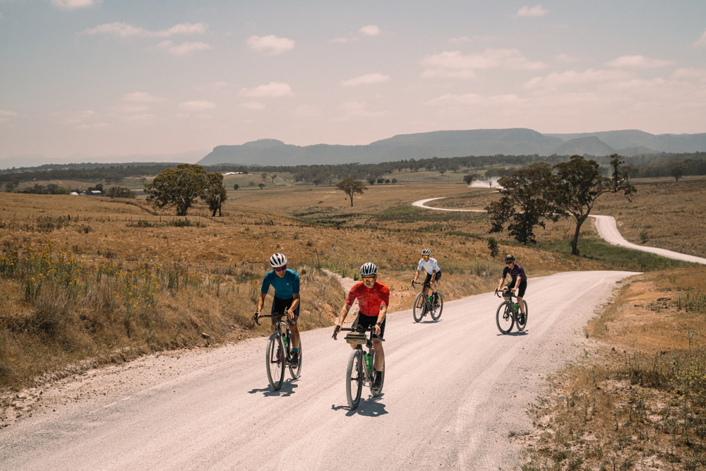
You are then pedalling alongside Palmers Oakey Creek, going against the flow of water so you are gently climbing. This section offers you an amazing ride through an almost hidden canyon with towering burgundy rocks along this section.
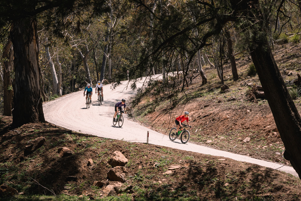
At ~25.1km you will turn onto the aptly named Mount Horrible Road (MHR). This is one large climb and it is not to be taken lightly, especially as it is on gravel. It is not all climbing. You can expect to have done most of the climbing by ~32.6km. There are many twists and turns as you meander all the way to the end of MHR at ~42.9km.
Then turn right onto Limeklins Road and onto tarmac for ~3.3km. At ~46km veer right onto Red Hill Road and again, this is very aptly named with another climb of ~2.6km in length with sections of +10%. Then you turn right back onto Limeklins Road at ~55.7km and back onto tarmac.
Soon you will be on the busier Sofala Road and at ~58.6km you are in the town of Wattle Flat with its own General Store. Please use CAUTION on Sofala Road, there is not much of a shoulder as you descend down to the tiny town of Sofala. At ~65.8km turn right into the township of Sofala and ride past the Royal Hotel.
After Sofala you will soon be back on gravel and up until ~92km you are predominantly riding parallel to the Turon River. At first you will be on Upper Turon Road and then you cross the Turon River at ~77.2km and then you are on Palmers Oakey Road.
NOTE : your feet will get wet, several times along this section. As mentioned above, this is NOT a ride to do post heavy rains. There are at least four weir crossings with running water. The longest being ~65m and the others being ~50m in length.
Then at ~92km you have completed the Palmers Oakey/Wattle Flat/Sofala/Turon Loop of this ride.
Now you are back onto Upper Turon Road and pedalling along the same road which brought you down from Capertee, which is 18 km away.
At ~100.5km the climb back up from Turon River to the Castlereagh Highway awaits you. This climb is a serious one and is not to be taken lightly, especially after all the kilometres which you already have in your legs.
At ~110.8km you are back in Capertee and have amassed a massive +2,400m of elevation, according to the Ride with GPS file. Congratulations!
Follow Us
Stay in touch
Get the latest news, from our events listings to top tips on visiting Lithgow, delivered directly to your inbox.
Subscribing is easy. Just fill in your details and click 'Subscribe'.
Please read our Privacy Policy by clicking here
Get an insider’s view of The Seven Valleys… read our blog here>>